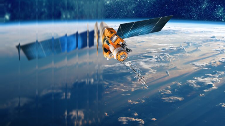

Seventy percent of the Earth’s land mass is covered by clouds at any given moment. For decades, that single statistic has been the quiet ceiling on what space-based Earth observation could reliably deliver. Optical satellites have brought the world remarkable imagery. But cameras cannot see through clouds. And in a tropical country like India, where overcast conditions can persist for 85 percent of the year, the promise of consistent, actionable intelligence from space has remained stubbornly out of reach. Until now.
In this episode of 3DEXPERIENCE Innovation Matters, Vivek Salvi, Senior Sales Director at Dassault Systèmes India, sits down with Suyash Singh, CEO and co-founder of Bangalore-based space-tech startup GalaxEye, to explore how space-powered data is becoming the next great enabler for industries that operate on the ground.
“Space for space is not the most exciting application. Space for Earth – that is the most exciting domain to be in.”
– Suyash Singh
From Cameras in Orbit to Persistent Intelligence
Space has three foundational applications: communications, navigation, and Earth observation. The first two are fully commoditized – their absence would be immediately catastrophic. Earth observation has never achieved the same reliability, because cloud cover breaks the business model: an optical satellite provider cannot guarantee weekly imagery when clouds may be present. Without consistent SLAs, enterprise adoption stalls. Yet the demand is accelerating, from power transmission operators monitoring vegetation along thousands of kilometers of lines, to commodity traders forecasting crop yields, to infrastructure developers tracking construction at scale. Each needs a reliable, recurring intelligence feed.
Syncfused OptoSAR: Engineering the Cloud-Agnostic Satellite
Perspective from Suyash Singh, CEO & Co-founder, GalaxEye
GalaxEye’s answer is architectural. Syncfused OptoSAR fuses optical and SAR (Synthetic Aperture Radar) sensors on the same satellite, imaging the same target from the same angle at the same moment. Radar penetrates cloud cover and operates in darkness. The result is a satellite that can guarantee one image per week regardless of weather – the consistent SLA that finally makes Earth observation as reliable as GPS.
India’s geographic diversity makes it the world’s most comprehensive testing ground for satellite calibration. A system validated here is validated against most of the world’s terrain variability. The customer-facing layer builds on this: AI foundation models layered over the multi-sensor dataset will refresh a living representation of Earth’s surface every one to seven days.
“India gives us an immense opportunity to build a database of the highest quality images that can be used by the world. Any satellite data, the best validation comes from imaging different terrains, and India has literally everything.”
– Suyash Singh
De-Risking the Unforgiving: Why Virtual Twins Are Non-Negotiable in Space Hardware
Perspective from Vivek Salvi, Senior Sales Director, Dassault Systèmes India
Space hardware operates under a constraint that has no equivalent in most industries: once launched, it cannot be retrieved, repaired, or iterated on. Every component must be right before the satellite leaves the ground. This makes virtual validation not a development convenience but an engineering necessity -the only mechanism by which a team can close the gap between what they designed and what will actually survive in orbit.
Physics-based simulation and multiphysics modelling allow teams to close 70 to 80 percent of potential development errors before a single hardware prototype is built. The insight this produces is compounding: each virtual iteration is faster and cheaper than a hardware one, meaning teams converge on the right solution more rapidly and with greater confidence. For a company scaling from one satellite to ten to one hundred, that discipline is not just efficient – it is the difference between a viable constellation and an unsustainable one.
“The question we always ask manufacturers working at the frontier is: how much of your development risk can you eliminate before you commit to hardware? In space, that question is existential.”
– Vivek Salvi
Ethics, Privacy, and Responsible Data from Space
As satellite data becomes more precise, questions around privacy and responsible data governance move to the center. At 30-centimetre resolution (the current threshold under India’s updated imaging policy) it is not possible to image individual humans. What is possible is monitoring activity at scale: counting vehicles, tracking infrastructure change, assessing crop health. Space observation monitors what humans do, not who they are, and does so under regulatory frameworks that every operator must comply with.
“There is a good trade-off between privacy considerations and the advantages that space-based intelligence delivers for efficient governance, enterprise operations, and supply chains. The key is that we are monitoring human activity, not humans themselves.”
– Suyash Singh
Four Frontiers for Space-Powered Intelligence
Four application categories will define the next decade of space-powered intelligence. Supply intelligence – knowing where commodities are, in what volume, before they enter the logistics chain -will reshape commodity markets. Linear asset monitoring, meaning transmission lines, roads, pipelines, will enable predictive maintenance at a scale ground inspection cannot match. Climate monitoring will give insurers and communities earlier signals on disaster risk. And security monitoring will remain essential for governments navigating geopolitical complexity.
At the center of all four is a single question that GalaxEye has held since its founding: not how to build a satellite, but why, and who ultimately benefits. The purpose of monitoring Earth from space is to make better decisions on it. That is what makes persistent, reliable Earth observation one of the most consequential infrastructure investments of the next decade.
“We want to democratize cardiovascular care from India for the world. The goal is not to be a product provider, but a comprehensive solutions provider – one that proves frugal innovation and global ambition are not in tension.”
– Suyash Singh
3DEXPERIENCE Innovation Matters continues to explore the ideas, innovations and people shaping India’s evolving industrial landscape, from emerging technologies to real-world applications.
More Ways to Engage:
🎬 Watch on YouTube
🎧 Listen on Spotify
👥 Follow us on LinkedIn
📩 Get in Touch