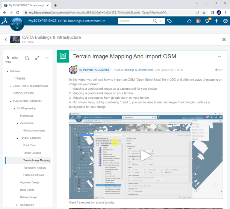

In this video, you will see how to import an OSM (Open Street Map) file in 3DX and different ways of mapping an image on your terrain:
1. Mapping a geolocated image as a background for your design
2. Mapping a geolocated image on your terrain
3. Mapping a screengrab from google earth on your terrain
4. Not shown here, but by combining 1 and 3, you will be able to map an image from Google Earth as a background for your design
Watch this video and all video tutorials & discuss with CATIA Experts on the Building and Infrastructure Community, free login
help to login ye7 AT 3ds.com
