
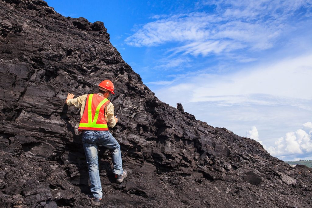
Knowing where to explore and drill, and having reliable data to do so is the lifeblood of every exploration mining company. No matter the commodity or location, exploration geologists depend on accurate, up-to-date exploration data to make informed decisions. While geologists have typically used GIS systems, common questions we have been asked include:
- How can I visualize drone point cloud data with exploration drilling?
- How can I use drones for reconnaissance and plan exploration drilling campaigns?
- How can I visualize brownfield infrastructure near my drilling campaign?
The Needs of Early Stage Exploration Companies
The ability to integrate and present geological information is at the heart of exploration geology. Miners in this stage are looking for cost-effective software that allows them to visualize a wide range of raw data format and create maps, sections, models and volume estimations, in a single package. Such software needs to allow for:
- Accurate data collection to track and visualize drilling activities
- Easy interpretation and management of drillhole data, surface samples, geochemistry and geophysical information
- 3D displays to communicate targeting concepts to management
- Grid modelling and interpolation options to normalize data distribution
- Integration with common geological databases and systems
Saving Time & Money in Exploration
Dassault Systèmes GEOVIA Surpac provides integrated analytical, visualization and modelling tools to support the needs of early stage exploration, and not to mention, save time and money.
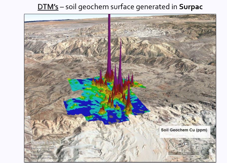
By having your drillhole database in any system and connecting them via Surpac, it provides you with the tools to visualize your programs in a single view. And by using our collaborative 3DEXPERIENCE platform, public data such as Google Earth maps can be displayed in Surpac.
Surpac offers:
- 3D graphics display with multiple layer control and viewports
- CAD tools to create and work with point and line data
- DTM tools to create and work with wireframe surfaces and sub-surfaces Custom plotting tools to create, preview, annotate and print user-defined plots
- Geostatistics tools for general data analysis, min, max, mean
- Geological drillhole database to manage, query and display drillhole and assay information
- Scripting and automation capabilities to record and playback for repetitive tasks like plotting plans
- Seamless integration with website publishing or slideshow presentations
- Support for the use of drone and other sensing equipment
- Ability to create graphical downhole composites and report intercepts
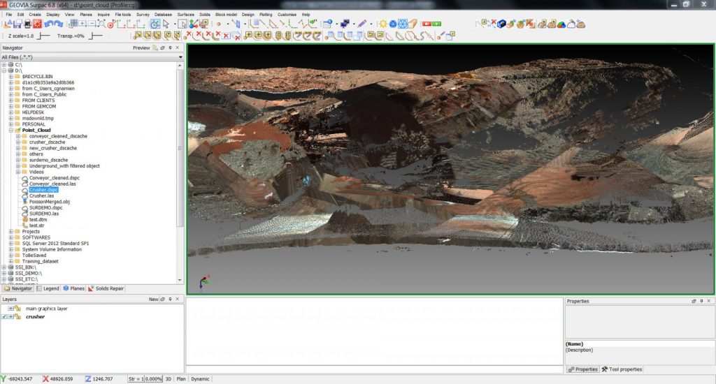
- Ability to import massive point clouds, clean and mesh data for processing, which allow for better planning decisions and understanding of geological structures
For more information on how we can meet your exploration needs, please contact us at GEOVIA.Info@3ds.com.
When mining companies seek to increase mine productivity, they turn to Dassault Systèmes for technology and services. It is home to world-renowned and award-winning mining solutions and to industry thought leaders who are pushing the boundaries of what’s possible in mining, through the GEOVIA brand. The largest global supplier of mining software, GEOVIA delivers comprehensive solutions in all major mining centers in more than 130 countries at over 4,000 sites.